Why we rethought aerodynamics.
Not all aircraft are created equal. Here's why conventional approaches fall short.
The Helicopter
Great for mountain rescue.
For saving hikers, they are engineering marvels. For taking photos of power lines, however, they are mostly a very expensive way to turn kerosene into noise.
The Multicopter
Perfect for selfies.
Fantastic for inspecting a single wind turbine or a roof. But do you really want to swap batteries 40 times just to scan one corridor? We didn’t think so.
TENEO|E
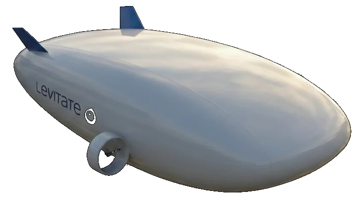
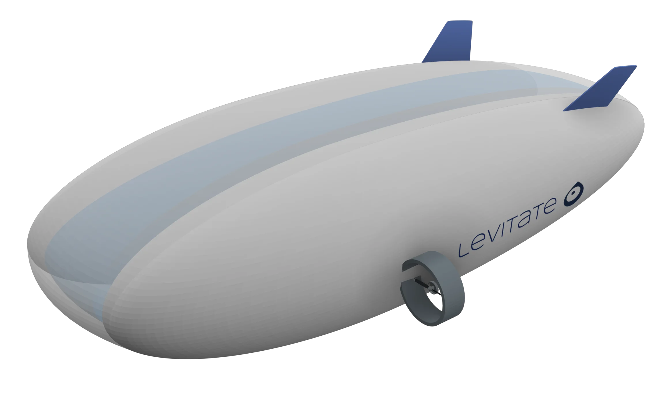
The Glider.
We stopped fighting gravity and started using it. Our hybrid-lift design combines helium with aerodynamics for 6 hours of silent, emission-free flight. Because the only thing that should be heavy is the dataset, not the operation.
Your Assets. Finally in Context.
Stop managing fragments. Start managing the full picture.
Validated across industries.
Construction & Geohazards
Strategic partnership for large-scale risk analysis and geotechnical monitoring.
Energy Utilities
Pilot operations with a Tier-1 Swiss Grid Operator.
Rail Infrastructure
Technology validation with a National Railway Company.